
Ever wondered how smart our eyes and brain are? What if we could train a machine to become smart to a certain extent? For example, we can look at images of skin and figure out if there’s some disease. We could train a machine to look at images and classify them into different classes positive (skin has some disease) and negative (skin does not have a disease).
So why don’t we use this approach of classifying images in a machine? Is it possible for machines to sense how a human can sense it? I know there are plenty of questions running through your mind, especially for people who are Beginners and not very acquainted with the world of AI and computer vision.
Navan.ai is a platform that allows developers to build their own computer vision model without writing a single line of code. This platform takes you through a few steps and then at the end, hurray…!! It's done. Now the machine can detect between skin infected with a disease and healthy skin. Yes, we know what`s running in your mind again. It is “How?” How are the classification and detection done? This is done by training the model with datasets of relevant images so that the machine can learn and predict the answer by looking at an image. To know how this can be done in more detail, please visit docs.navan.ai.
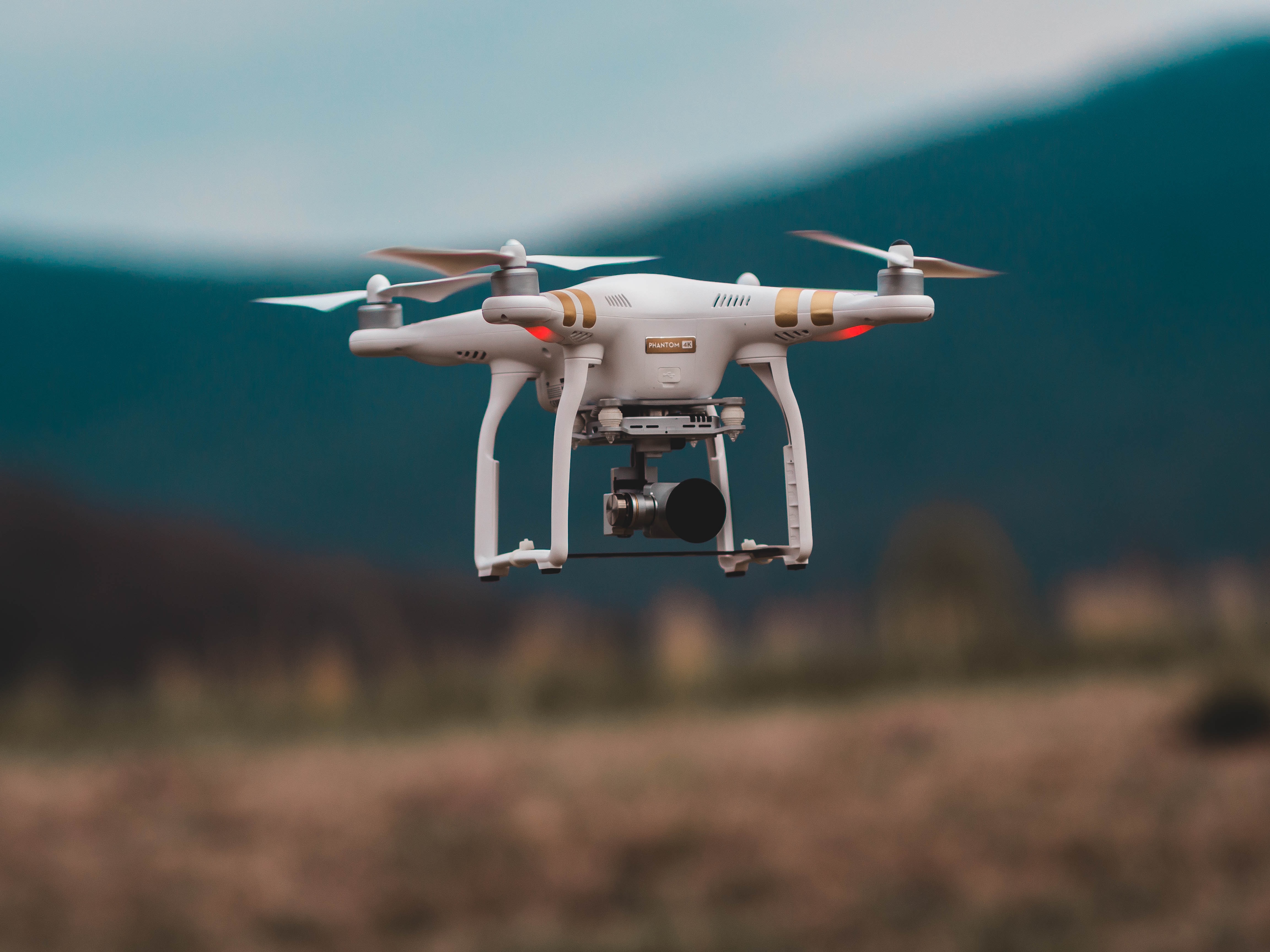
Right today we will take some examples of applications wherein the models are mostly used in Drones. Some of the image classification models useful for drones have been built using the nstudio.navan.ai platform by our team and also by fellow AI enthusiasts who have joined us in our monthly webinars.
Computer Vision applications of Drones:
Drone service providers and organizations using drones see a direct benefit of using Computer Vision to reduce the processing time of the video feed, at times making it so fast that the objects can be detected from the drone feed in real time using computer vision without any manual intervention. We welcome all drone service providers and organizations using drones to use nstudio.navan.ai to build their own classification and detection computer vision models which can be integrated with their applications.
Using Image Classification Models for processing the video feed captured using Drones:
Image classification is the process where the specific data points in the image are predicted or classified. The main aim is to identify all the data points from an image.
1. Windmills:
- Computer Vision models can classify cracks on the rotor blades and the rotors.
- Computer Vision models can classify the rust formed on the rotor blades and the rotors.
2. Surveillance, Intrusion detection:
- Farmers living on the edges of forests can use animal classification models to know when and what type of animals are entering their premises.
3. Geographic mapping:
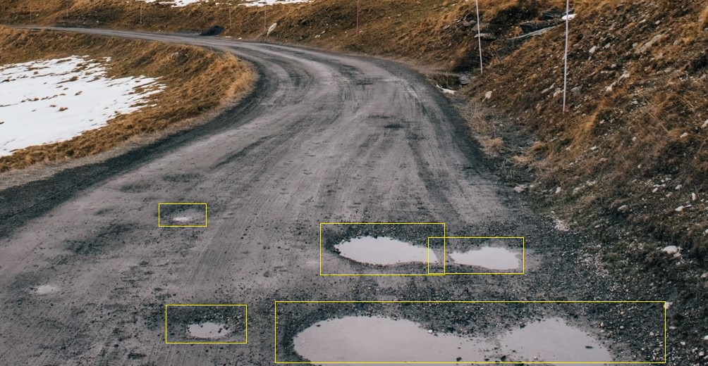
- Many governments are using computer vision to classify the severity of potholes depending on the depth of the potholes.
Using Image Detection Models for processing the video feed captured using Drones:
Image detection or Object detection uses computer vision technology to detect the objects in the image.
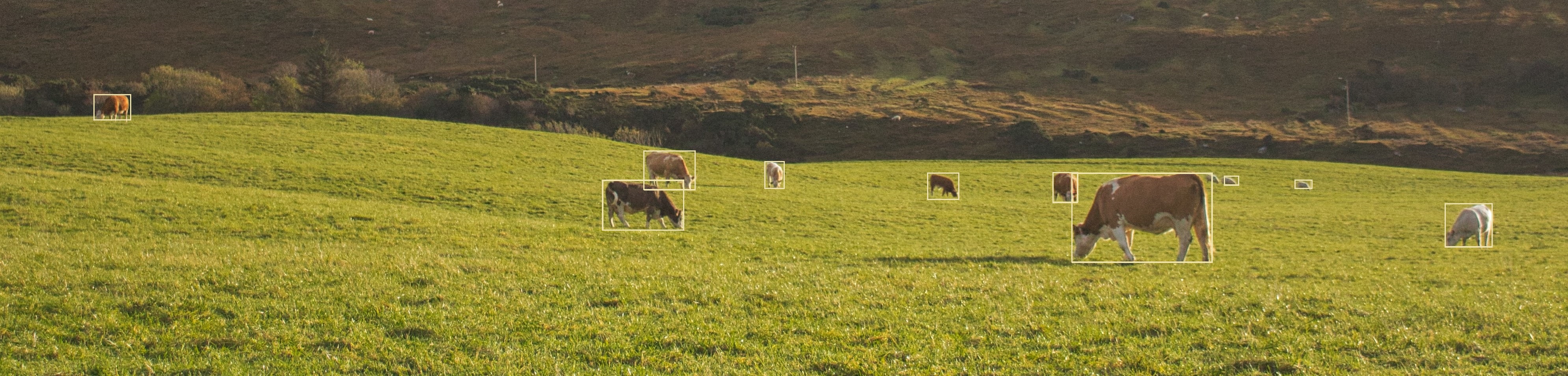
1. Object detection and counting:
- Drones are used in agriculture to detect and count livestock, trees, fruits, and vegetables. Computer Vision models can help automate these tasks.
- Fire Detection: Forest fires are a big threat to the environment, animals, and humans. CCTV cameras and drones can be used to detect fires in open areas where sensors cannot be used.
- Crack, rust, rooftop damage detection
2. Geographic mapping:
- A detection model can be used to detect potholes on the roads. A classification model further helps to classify the severity of potholes.
- Counting the number of trees in farms and estimating the economic value of the produce.
- Flood control Management - the aerial detection of floods.
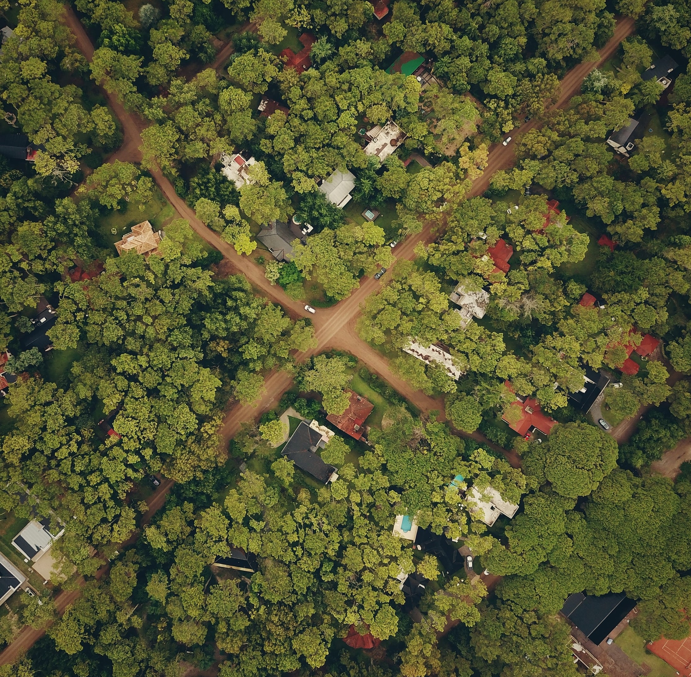
- Land surveyors use computer vision models along with video analytics to automatically classify and count the number of houses, buildings, farms, structures, trees, etc in a given area to understand land usage patterns and to help the government find illegally constructed houses, to help the town planning authorities to plan road development and provide amenities to the citizens.
3. Law Enforcement:
- Search and rescue: Detecting people and animals using drones.
- Number plate detection is mostly seen on highways. An OCR model can help them in reading the letters and numbers on the license plate of the vehicles.

4. Wildlife monitoring
- Counting animals.
- Example: Saaragh has developed a kangaroo detection model.
You can register your interest in this form to get early access to nstudio.navan.ai to build your own computer vision AI models without writing a single line of code: https://docs.google.com/forms/d/e/1FAIpQLSfP0tFJSwqLY1NLXAg_AMzQnF_8c4yt7IybpfCG8kjBCkbY_Q/viewform